CERSAT - Ifrermer satellite data center
Entity attached to:
Infrastructure
Main activity
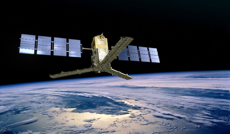
The CERSAT (Centre ERS d'Archivage et de Traitement) / Laboratory of Oceanography From Space is part of IFREMER (French Research Institute for Exploitation of the Sea). It was created in 1991 as a node of the ESA (European Space Agency) ground segment for the ERS-1 and ERS-2 Earth observation satellites, performing off-line processing of the ERS-1 and ERS-2 low-bit rate sensors. The CERSAT has then evolved towards a multi-mission data centre for archiving, processing and validating data from spaceborne sensors (such as altimeters, scatterometers, radiometers, SAR,...) with a focus on sea surface parameters and air-sa interactions.
Description
Certification, standardization, calibration
Category
Digital
Spatial data providers
Spatial data providers
hasafcfaf18-c675-48af-beca-8bb1ff090072
Scientific disciplines
Bioinformatics
Mechanics
Marine geomatics / Habitat mapping
Microbiology
Hydrology / Hydrography
Biological oceanography
Marine Ecology
Physical oceanography
Mechanics
Marine geomatics / Habitat mapping
Microbiology
Hydrology / Hydrography
Biological oceanography
Marine Ecology
Physical oceanography
Strategic areas of action
Marine energy and mining resources
Environmental and coastal planning and development
Marine biological resources
Maritime safety and security
Maritime ports, infrastructure and transport
Shipbuilding and leisure boatbuilding
Environmental and coastal planning and development
Marine biological resources
Maritime safety and security
Maritime ports, infrastructure and transport
Shipbuilding and leisure boatbuilding
Examples of work
Type of entity
Platform
Keywords
Satellite, Winds, Waves, Sea Ice, Ocean color, SSS, SST
Website
Modification date: 29/04/2026 10:50:02
Data analysis and processing of derived-products and environmental indicators
Concerned publics
Companies
Research partners
Other researchers
All
Institutions
Others
Research partners
Other researchers
All
Institutions
Others
Terms of access
Research collaboration access
Supervised access
Supervised access
Access url
http://cersat.ifremer.fr/data
Movable ?
yes
no
Description
Restrictions may be applied according to the data sources (operator of the satellite mission)
Data visualization
Concerned publics
Companies
Research partners
Other researchers
All
Institutions
Others
Research partners
Other researchers
All
Institutions
Others
Terms of access
Research collaboration access
Supervised access
Supervised access
Access url
http://cersat.ifremer.fr/data
Movable ?
yes
no
Description
Nausicaa, Naiad, Calypso online services
A pioneer in ocean science, IFREMER's cutting-edge research is grounded in sustainable development and open science.His vision is to advance science, expertise and innovation to protect and restore the ocean, sustainably use marine resources to benefit societ, create and share ocean data, information & knowledge.
With more than 1,500 personnel spread along the French coastline in more than 20 sites, the institute explores the 3 great oceans: the Indian, Atlantic and Pacific oceans.
Founded in 1984, IFREMER is a French public organization and its budget approximates 240 million euros. It is operating under the joint authority of the French Ministry for Higher Education, Research and Innovation, the French Ministry for the Ecological and Solidary Transition, and the French Ministry of Agriculture and Food.
Adress
Ifremer Centre de Bretagne
Address line 2
BP 70
Zip code/Postcode
29280
Town/city
PLOUZANÉ