Syntool Web: online data access portal
Main activity
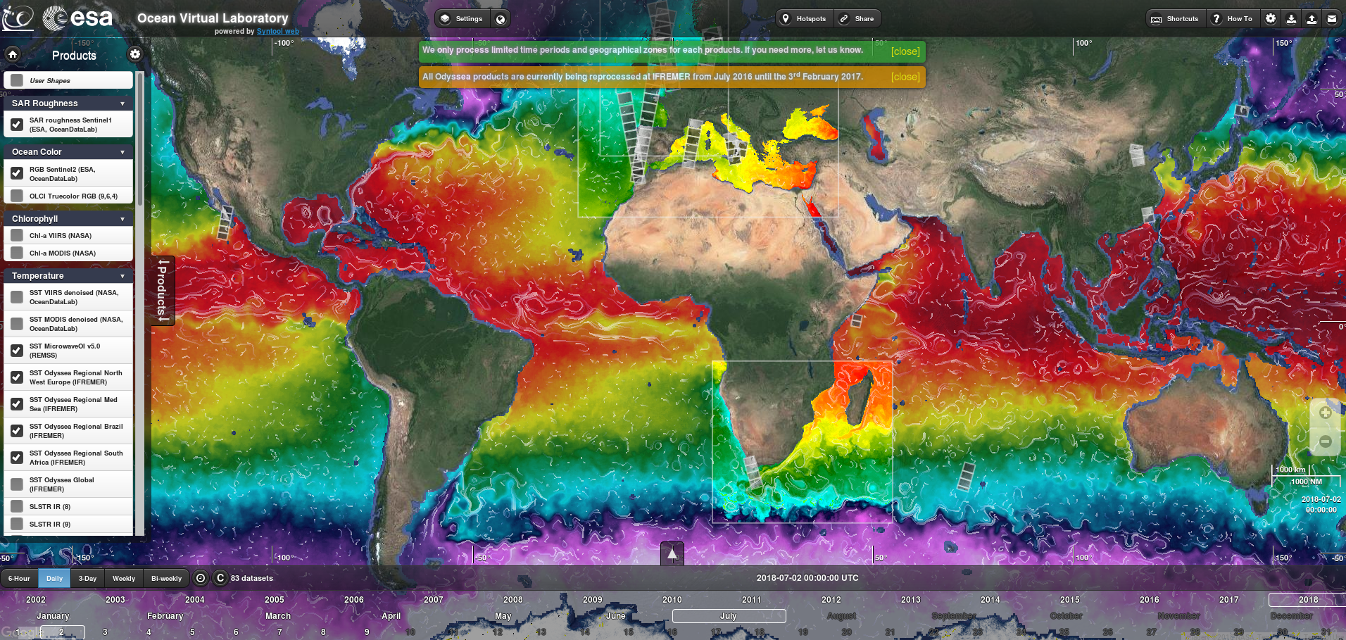
Visualisation tool for free, open data (satellite, model, in situ). Resolution 10m or higher.
Description
Category
Digital
Modelling and in situ data providers
Spatial data providers
Modelling and in situ data providers
Spatial data providers
hasafcfaf18-c675-48af-beca-8bb1ff090072
Scientific disciplines
Biological oceanography
Physical oceanography
Physical oceanography
Strategic areas of action
Marine energy and mining resources
Environmental and coastal planning and development
Marine biological resources
Maritime safety and security
Maritime ports, infrastructure and transport
Shipbuilding and leisure boatbuilding
Environmental and coastal planning and development
Marine biological resources
Maritime safety and security
Maritime ports, infrastructure and transport
Shipbuilding and leisure boatbuilding
Examples of work
OVL (Ocean Virtual Laboratory): specified by many European institutions
URL works
Type of entity
Platform
Keywords
Multimodal, Synergy, Visualisation, Satellite
Website
Modification date: 09/04/2025 01:13:11
Developing data access portals
Movable ?
yes
no
Concerned publics
Companies
Research partners
Other researchers
All
Institutions
Others
Research partners
Other researchers
All
Institutions
Others
Terms of access
Research collaboration access
Full service access
Supervised access
Open access
Full service access
Supervised access
Open access
Description
Installing a dedicated server for project data and setting parameters for a dedicated thematic interface. Open-source software.
Spatial oceanography training
Movable ?
yes
no
Concerned publics
Companies
Research partners
Other researchers
All
Institutions
Others
Research partners
Other researchers
All
Institutions
Others
Terms of access
Full service access
Description
Introductory and advanced training in the use and application of satellite data for monitoring the marine environment. e.g. 11-15 September 2017: ESA Advanced Ocean Remote Sensing Training Course, Porto https://www.oceandatalab.com/7f01202e-1eb0-459f-b715-7ac5ac6e41ee
IT and software. Harnessing the synergy from multi-sensors to monitor the marine environment. Developing open-source software solutions. Business services.
Adress
870 Route de Deolen
Address line 2
Locmaria
Zip code/Postcode
29280
Town/city
PLOUZANÉ