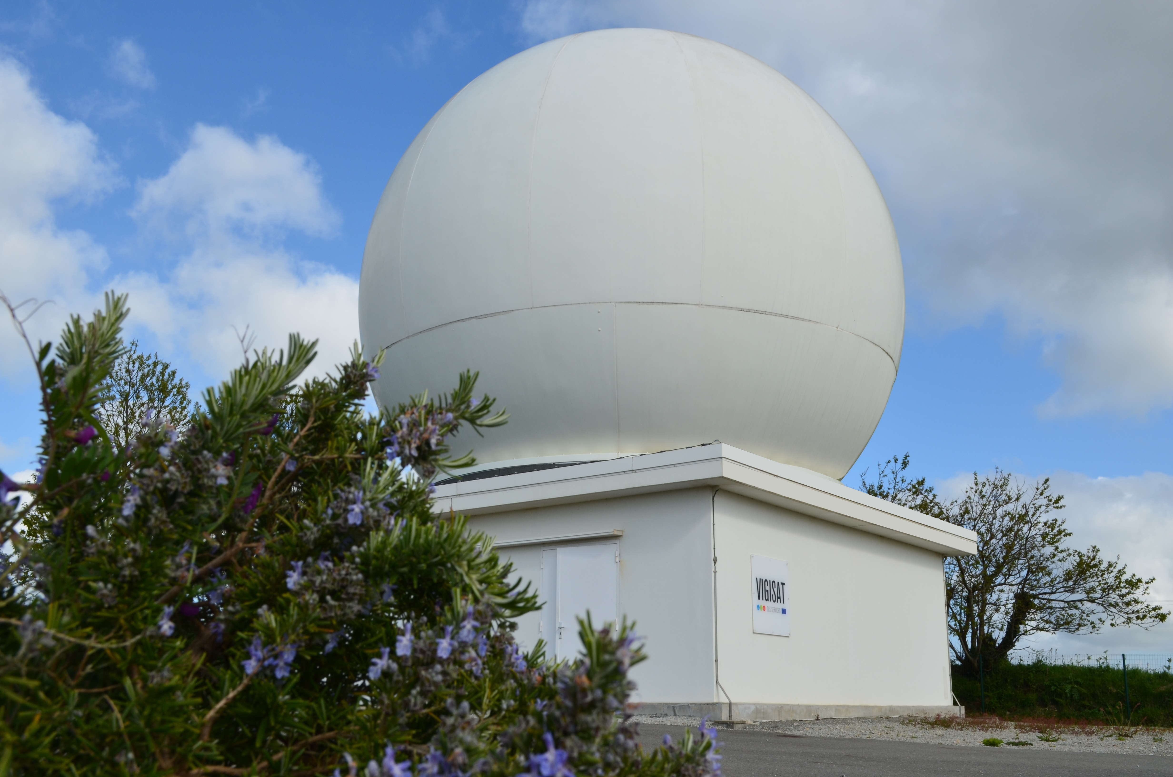
Vigisat : station de réception directe et d'analyse d'images satellites
Description
Category
Observation
Digital
Spatial data providers
Coastal
Littoral
Offshore
Digital
Spatial data providers
Coastal
Littoral
Offshore
hasafcfaf18-c675-48af-beca-8bb1ff090072
Scientific disciplines
Physical oceanography
Strategic areas of action
Marine energy and mining resources
Environmental and coastal planning and development
Maritime safety and security
Maritime ports, infrastructure and transport
Shipbuilding and leisure boatbuilding
Environmental and coastal planning and development
Maritime safety and security
Maritime ports, infrastructure and transport
Shipbuilding and leisure boatbuilding
Examples of work
CleanSeaNet (monitoring of oil spills at sea) for EMSA. Mission performance Center of the Copernicus Sentinel 1 satellite mission (MPC-S1) for ESA and EU.
Type of entity
Platform
Keywords
Remote sensing, Radar, Maritime security and safety, Wind, Waves, Currents, Land mapping, Interferometry, Ground subsidence, Hurricanes, Satellite images, Space, Sea Ice, Icebergs
Website
Modification date: 05/06/2026 10:45:41
Delivery of value added products and services
Movable ?
yes
no
Concerned publics
Companies
Research partners
Other researchers
All
Institutions
Others
Research partners
Other researchers
All
Institutions
Others
Terms of access
Full service access
Delivery of satellite images in real time or delayed
Movable ?
yes
no
Concerned publics
Companies
Research partners
Other researchers
All
Institutions
Others
Research partners
Other researchers
All
Institutions
Others
Terms of access
Full service access
CLS operates and provides high added-value satellite systems, products and services.
Adress
Avenue la Pérouse
Address line 2
Technopôle Brest Iroise
Zip code/Postcode
29280
Town/city
PLOUZANÉ